Lower Manhattan Cityscape


Lower Manhattan Cityscape
$0.00
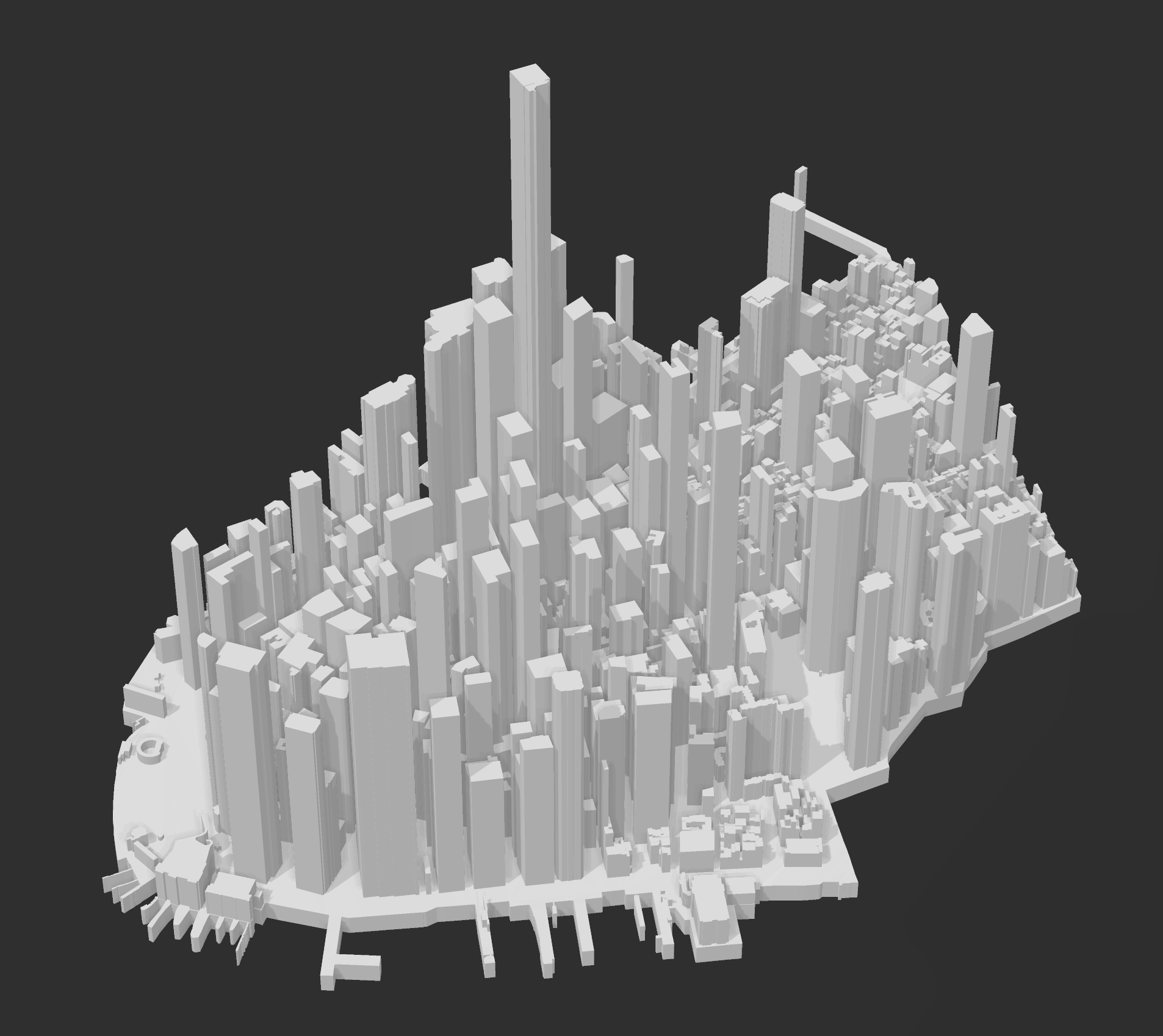
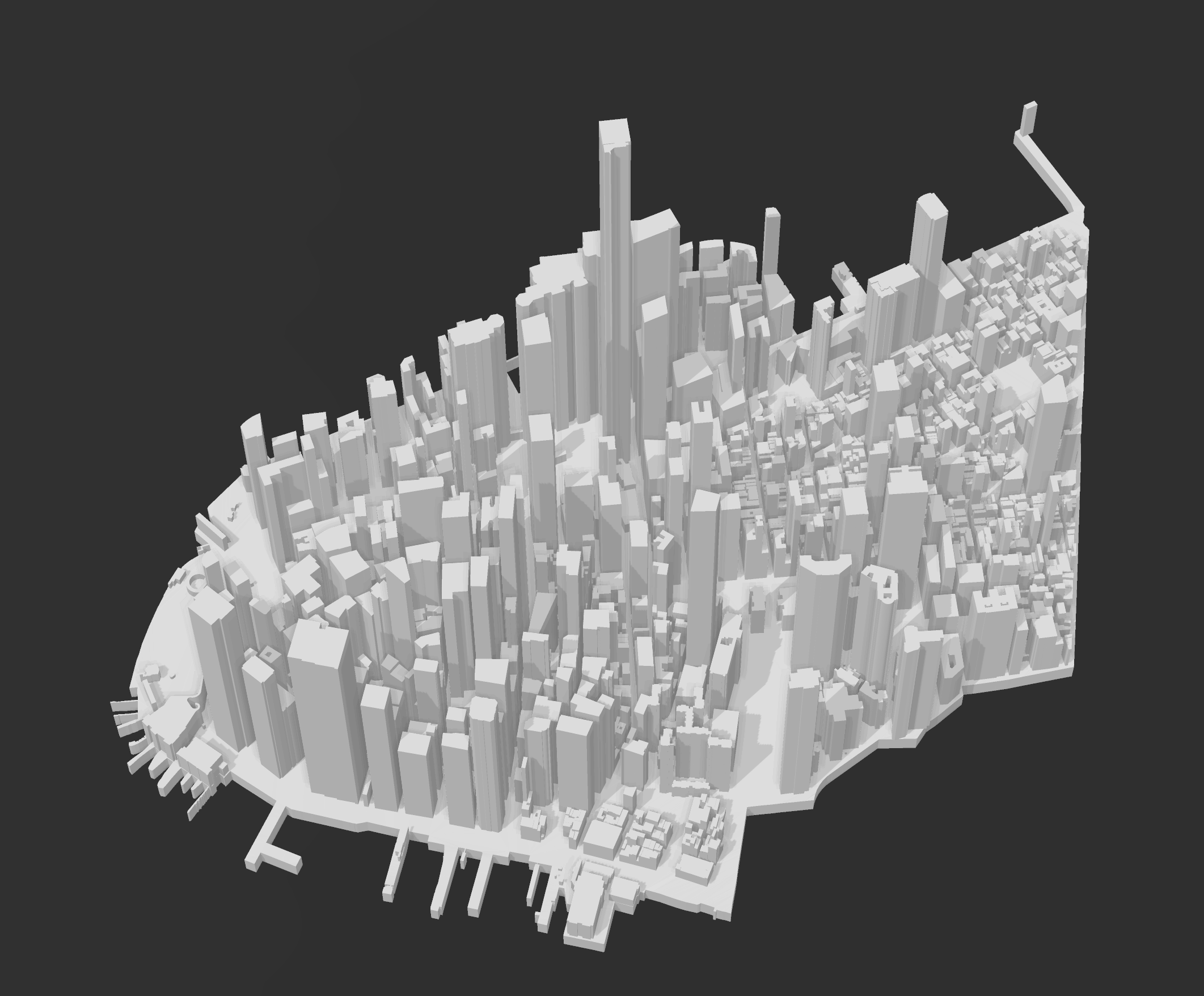
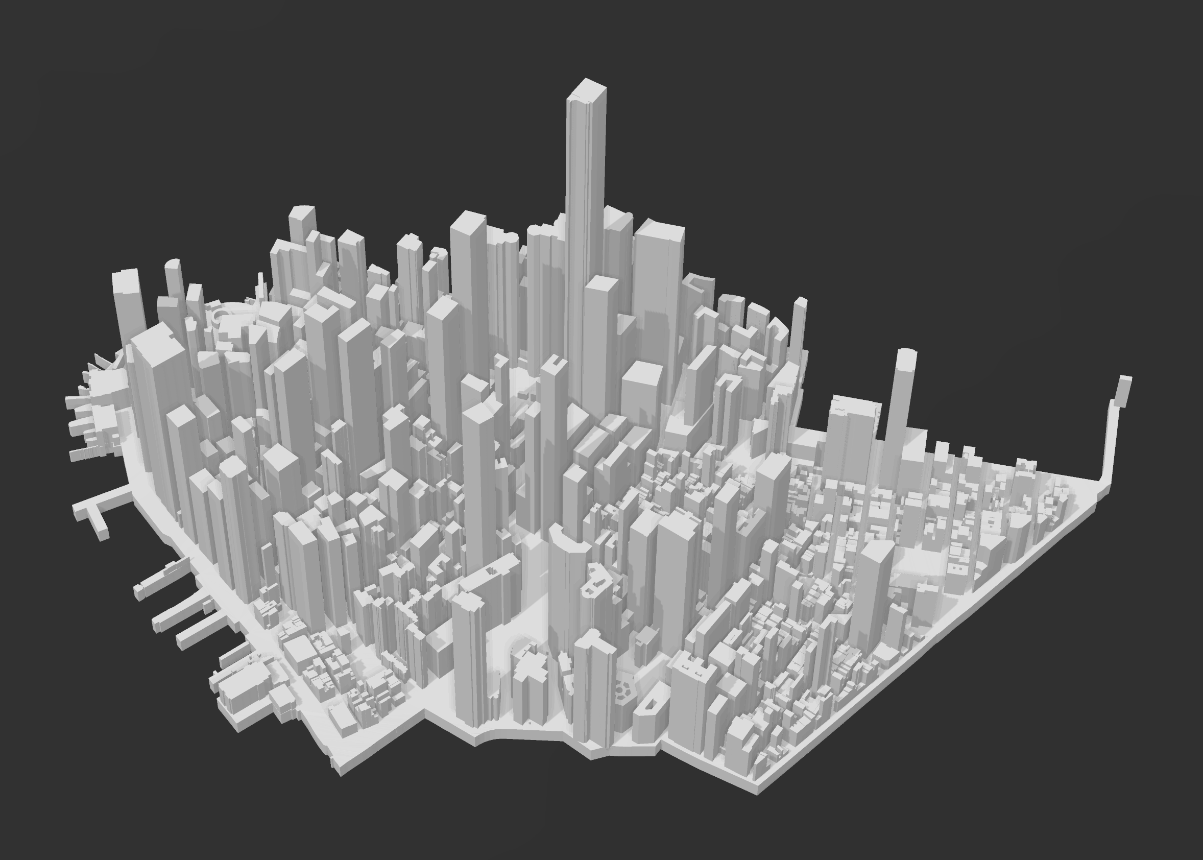
Thanks to @MTORO003’s work, this model of Lower Manhattan covers the topography and buildings for the area of New York City’s #101 district, known as the city’s financial district.
An open source geographic information systems (GIS) software (QGIS), was used in partner with an open source plugin, Qgis2threejs, in order to process, manipulate, and produce this model.
A vertical exaggeration was used to emphasize the buildings, and create the most dramatic cityscape.
This model used three publicly-available, fully open access geospatial datasets that were downloaded, compiled, and minimally processed.
sold out